
Welcome to my website!
Check out my portfolio, resume, and background below.
Portfolio
Explore projects I have developed by clicking on one of the three images below. The work project portfolio contains work samples from current and previous employment. The school project portfolio contains college assignments and my master's scholary product. Data visualizations that I have created in my spare time can be found in the personal project portfolio.

School project portfolio
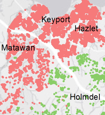
Personal project portfolio
Resume
View as PDFExperience
Baltimore City Public Schools, Baltimore, MD
Associate - GIS, February 2022 – September 2022
Data Specialist, September 2022 – Present
As part of the Facilities Planning department, I provide spatial data visualization to supplement presentations and reports using ArcGIS Pro, Power BI, SQL, Python, and Adobe InDesign. I also fulfill data and map requests from both internal and external sources timely and thoroughly, including designing interactive web applications with ArcGIS Online and ArcGIS Enterprise. Additionally, I maintain our relational database management system in Microsoft SQL Server with up-to-date data, adhering to best practices.
Mott MacDonald, Iselin, NJ
GIS Technician II (subcontracted via RCS Corporation), July 2021 – February 2022
Mapped natural gas assets with Smallworld software and as-built documents while adhering to standards defined by the client. Performed quality control both on my work and the work of others. Worked efficiently to meet time-sensitive quotas.
Read more about this project >
UMD Center for Geospatial Information Science, College Park, MD
Researcher, May 2019 – August 2019
Assisted two professors in spatial statistics research and data visualization using R, QGIS, and ArcGIS. Worked on development of the Maryland Environmental Justice Screening Tool web map
University of Maryland Campus GIS, College Park, MD
GIS Intern, September 2018 – December 2018
Produced maps for underground utility systems from digitized CAD data using ArcCatalog Spatial ETL tools and ArcMap. Published the maps into a web application on ArcGIS Online with HTML coding. Worked with three-dimensional modeling of buildings and roof shapes in ArcGIS Pro using LIDAR data.
START, College Park, MD
Geospatial Intelligence Intern, August 2017 – December 2017
Conducted research on the relationship between conflict and resource scarcity in Ethiopia with Microsoft Excel pivot tables, ArcGIS 10.5, model builder, spatial statistics tools, SPSS, and R. Remained flexible in order to complete daily side-tasks from supervisors.
Education
University of Maryland, College Park, MD
M.S. in Geography, August 2019 – May 2020
"Estimating Commercial and Residential Food Waste Generation at County Scale"
Recipient of the Brian R. Melchior Research Scholarship
University of Maryland, College Park, MD
B.S. in GIS, 3.93 GPA, August 2016 – May 2019
Recipient of the James R. Anderson Award (highest departmental honor, awarded to one undergraduate per year); Achieved the College of Behavior & Social Sciences Dean's List all six semesters.
Skills
- Proficient in ArcGIS (including Online and Pro), Microsoft Office (including Excel), Smallworld, Adobe InDesign, Crystal Reports
- Proficient in Python (including ArcPy, CenPy, and Pandas), R, SQL
- Familiar with HTML, JavaScript (including Leaflet), Power BI, QGIS, and Carto
- Esri certifications: Network Analyst, Geodatabase Domains and Subtypes, Web AppBuilder for ArcGIS
About Me

Born and raised in New Jersey, I have always been fascinated with geography and cartography. As a result, I have a wide collection of atlases and drawings from childhood which continue to inspire me to better understand the art of creating great and informative maps. I love imagining new ideas for interesting data analysis and visualization and I also love a good challenge. Thanks to my education at the University of Maryland and my work experience, I have a variety of skills to tackle whatever challenges come next.
Connect with me on LinkedIn
If you have any questions or comments, feel free to reach me by e-mail! Thanks for stopping by!